Encouraging state-of-the-art, responsible management in agriculture and forestry
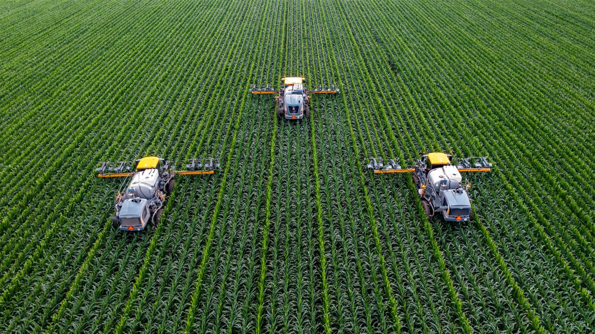
Analyze crop growth and evaluate agricultural production by businesses, traders, insurance companies, processing industries, as well as government and international institutions using satellite data. Implement sustainable and smart farming practices. Map deforestation and analyse forest regeneration processes with satellite monitoring of forest stand condition and growth.


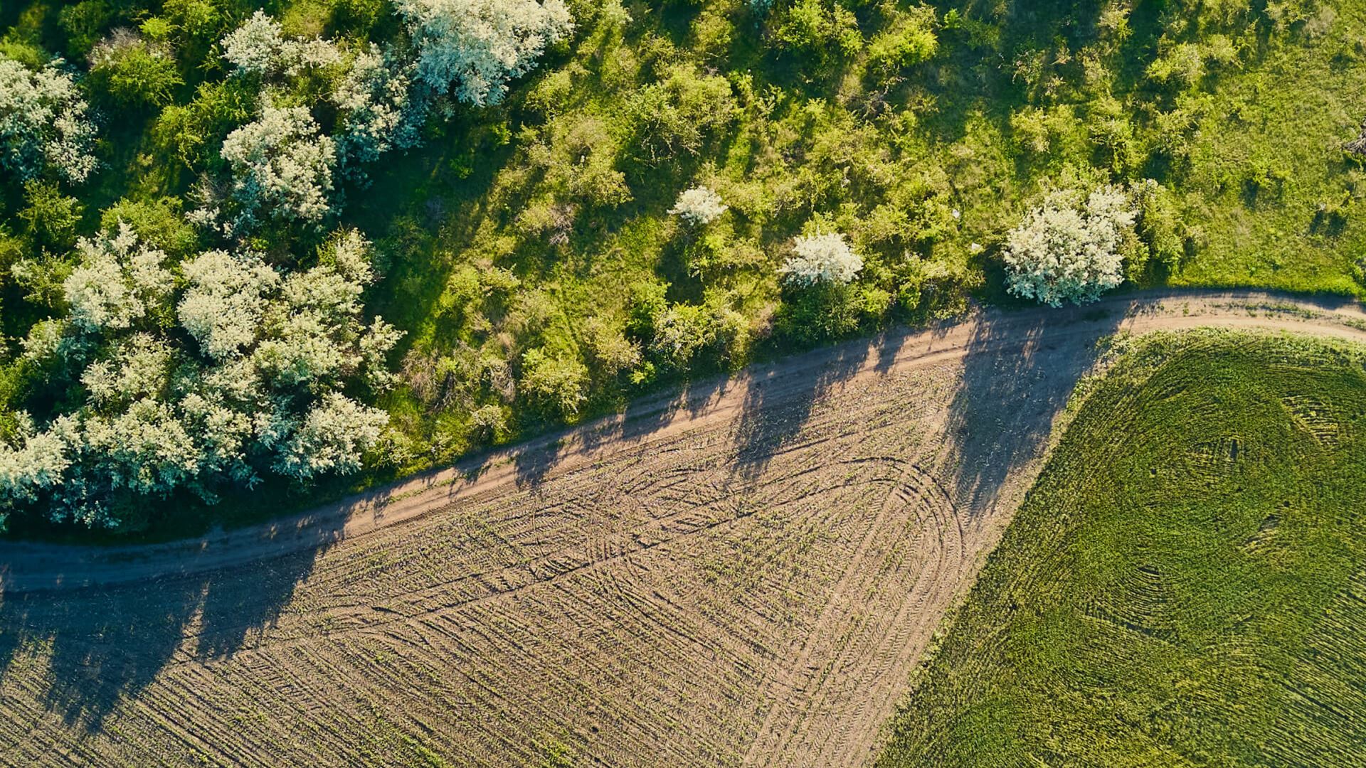
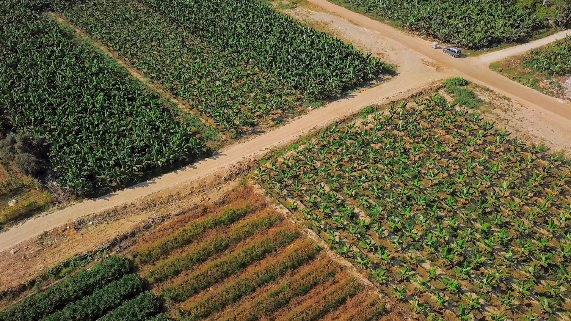
Agricultural vegetation mapping
We map agricultural land, classify crops, and monitor management for targeted practices, subsidy controls, damage assessment, and statistics. Our mapping uses free optical and radar data from Sentinel and Landsat, supplemented by higher-resolution Planet or other data when necessary.

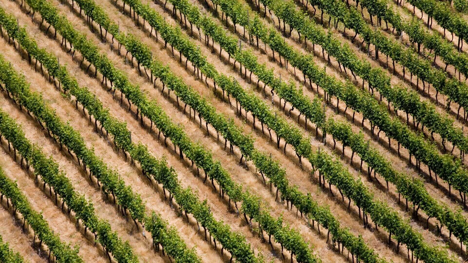
Monitoring vegetation growth and forecasting future states
We monitor crop parameters like chlorophyll, leaf area, biomass, nitrogen, carbon balance, and water. This helps us track drought, forecast yields, assess climate change, and promote smart farming. Our monitoring uses biophysical and biochemical modeling with satellite data indicators, and predictive AI/machine learning.

Choose how to get results
We deliver mapping and monitoring results in formats that suit customer needs and preferences: spatial data (GIS layer), custom web map portal, API integration, or as a technical report with maps


Case studies and references
PROPOLE 2.0 – EO based crop monitoring services for precision agriculture
Agricultural crop monitoring and assessment for CAP compliance and precision farming

EO based agricultural monitoring for Common Agricultural Policy
Earth observation for monitoring New CAP agriculture eco-schemes
Your customer journey
